Unveiling Our Updated Product Focus

We are thrilled to introduce our newest content provider: you.
There are exciting changes taking place at AerialSphere. From drones to smartphone imagery, we now offer elegant management and visualization solutions that save you time, money, and frustration. Unlocking the full potential of your imagery, existing or new, has never been simpler.
Our user-friendly imagery manager is a drag-and-drop experience, making it seamless for you to import, connect, and view imagery from diverse sources layered with GIS data that is important to you and your clients.
For those interested in virtual tours, we’ve made it easier than ever to get started showcasing your project, and with XP360 updates can be made instantly. Get the interactive 360° experience without the typical hassle and cost.
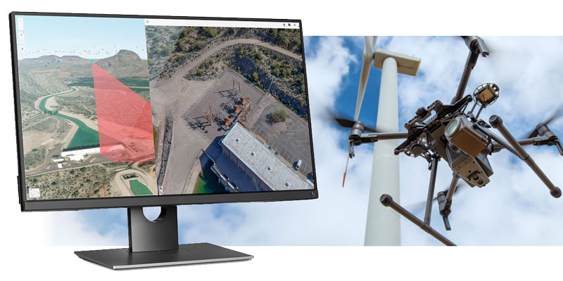
Combine Imagery and GIS Seamlessly with XPGEO
Enhance your GIS projects to tell an interactive story with minimal GIS team impact. Combine several imagery types and formats seamlessly with 2D/3D GIS into one project without image processing experience. To be up and viewing in minutes, link the cloud folders of supported images and GIS. A solution that is beautiful and straightforward because the tool does all the hard work transparently.

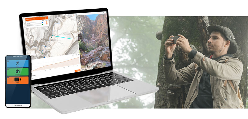
GIS Professional Services
Our professional team has access to even more tools if your imagery is not supported today. We can do a one-time conversion or work with you to add format support to the tool. If you need more resources to field your project, our professionals, with years of helping clients like you impress their customers, can be contracted on a project or hourly basis.
Ready to experience a new level of simplicity in leveraging the power of imagery? Explore the possibilities with AerialSphere.
