Imagery Solutions
A new way to see the world.
360° Imagery
AerialSphere’s imagery knows no directional bounds and is viewable from every possible direction.
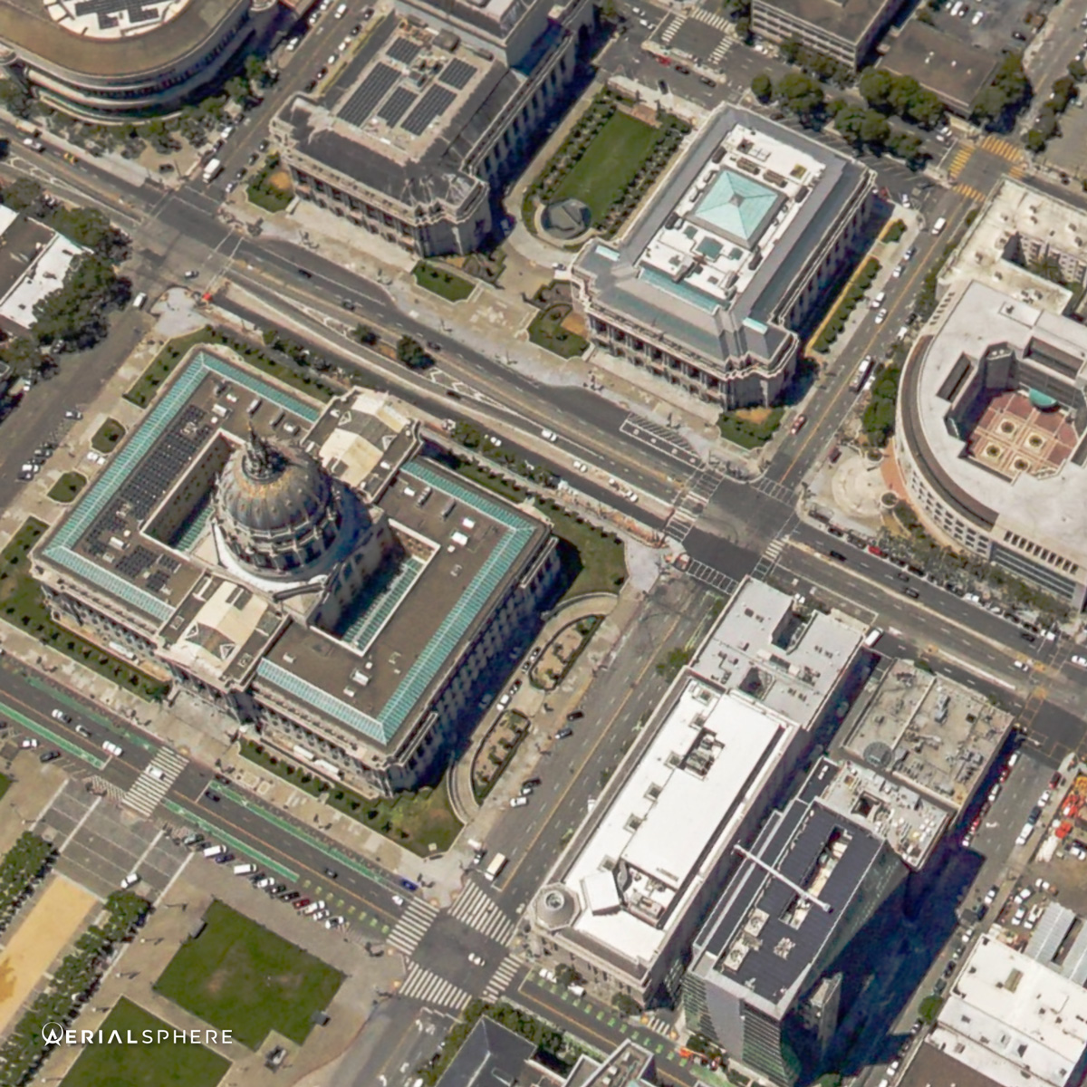
With most aerial imagery being limited to straight down views, or at best a 45-degree angle, our experiences surpass the common cardinals (North, South, East and West) and allow you to navigate through the viewer as if you were controlling the aerial camera yourself.
Location Enabled
Every pixel has position.
Our patented georectification process aggregates images and embeds precise latitude and longitude coordinates, enabling all kinds of data to be overlaid with pinpoint accuracy. Not only are our experiences exciting and engaging, but with the addition of location data they become actionable and highly informative.
Nationwide Coverage
We live in the sky.
Our high-resolution imagery spans 70 of the largest markets in the United States – we fly each market on a yearly basis to ensure you have the newest perspectives to make the most informed decisions. If we don’t have coverage in your area, our XP360 OnDemand program can get you exactly what you need.
Real Photography
3D modeling such as Google Earth and Apple Flyover can be fun, but when your business or product requires any amount of detail in your imagery, there is no substitute for the real thing. AerialSphere captures its own (real) aerial imagery at high resolution so you always have the most detailed perspectives when using our experiences.
Try it for yourself.
Explore New York using the XP360 viewer below.
Find the solution that’s right for you.

XP360 API
Created for developers, XP360 technology takes maps to a whole new level with unprecedented 360-degree aerial visualizations combined with precise location data. New vantage points for your project, product or service to showcase and assess the world below.

AerialSphere for ArcGIS
ArcGIS is the most powerful mapping & spatial analytics technology available. Couple that with the only georectified national library of 360-degree aerial imagery and you have an unparalleled solution that can help you visualize, analyze and compose next-level maps.
Have Questions?
We’re here to help. Simply complete this form and one our helpful customer service members will be in touch.

