WELCOME TO AERIALSPHERE
Visualize More.
Unlock the full potential of your drones, cameras, and sensors with our imagery and mapping solutions. We transform complex location-based data into actionable insights, helping you visualize, manage, and integrate imagery effortlessly.
Discover how easy it is to turn imagery into powerful, location-driven decisions.

Turn Captures into Critical Insights
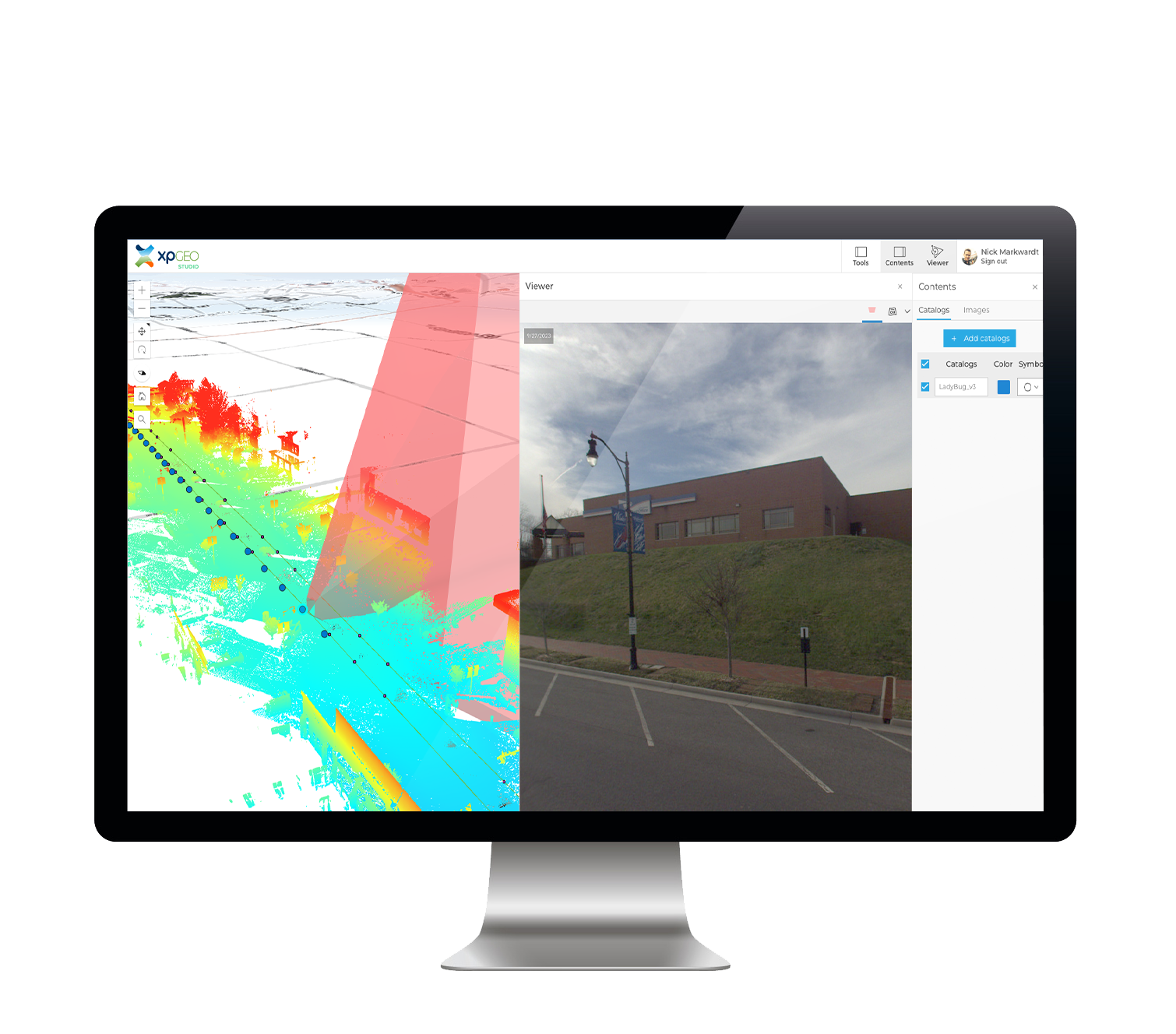
XPGEO offers GIS professionals, remote sensing teams, and field workers an intuitive platform that converts non-traditional imagery—like drone and smartphone captures—into ArcGIS-ready data. Seamlessly integrate diverse data types into your spatial analyses, enhancing situational awareness and driving faster, data-driven decisions. With XPGEO, you can streamline workflows while maximizing the value of your imagery, making it easier to unlock insights in critical applications like defense, disaster response, and infrastructure management.
Achieve more with XPGEO.

Geo-Enabled Panoramic Viewer
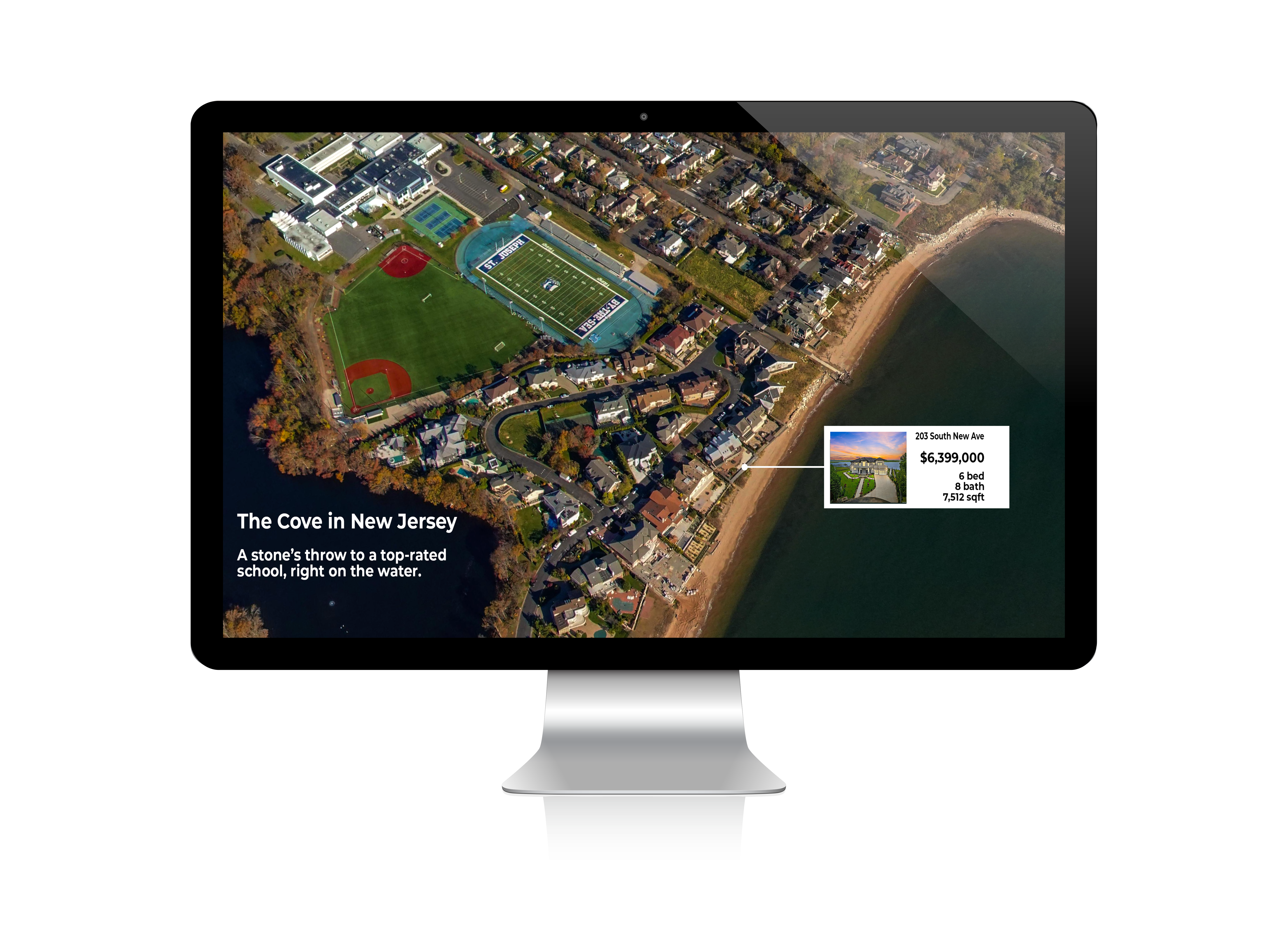
XP360 transforms 360° imagery into an interactive, map-based experience. It’s perfect for showcasing real estate, land development, and economic growth opportunities. Compatible with most aerial and ground-based panoramas, XP360 lets you present your sites with spatial accuracy and visual impact. Whether you’re working with your own imagery or local resources, XP360 integrates seamlessly with real-time data to deliver immersive, location-smart presentations that inform and engage.
Designed for real estate professionals, marketers, planners, and development teams.
Professional Services
Your Partner for Imagery Solutions
Harness our expertise and dedicated team to develop custom solutions that enhance your organization’s use of imagery and maps. From drones to smartphones, we have the know-how to help you save time, money, and resources, delivering tailored solutions that meet your unique needs.
Accomplish more with our professional services.
Stronger Together:
Our Community & Partners
At AerialSphere, we’re all about making GIS even more powerful and accessible for everyone. As a proud Esri Gold Partner, we’re deeply committed to pushing the boundaries of what you can achieve with ArcGIS, bringing you incredibly immersive and accurate real-world data. This helps GIS professionals like you get richer insights, create stunning visualizations, and make smarter decisions every day.
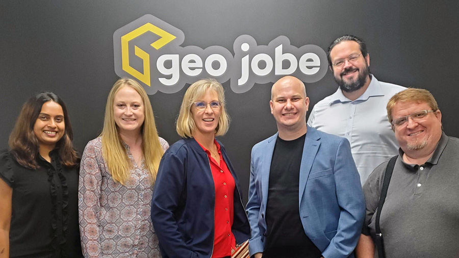
We team up with awesome geospatial service providers like GeoJobe and wildfire mitigation experts like FDS (Fire Defense Systems), making sure our cool solutions fit right into your workflow and contribute to critical efforts like wildfire prevention. These partnerships are crucial; they extend our capabilities, expand our reach, and ultimately help us deliver more comprehensive, impactful geospatial solutions to you.
Want to learn more?
Drop us a line. We’ll happily respond to your inquiry or just keep you up to date with the latest imagery and product offerings from AerialSphere.


